Supporting Chartered Surveyors with Drones

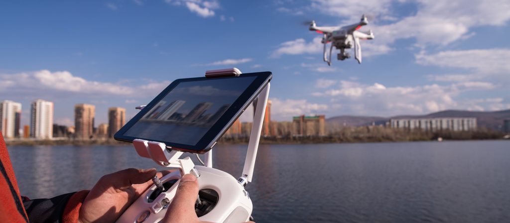
As a UK company we have been supporting UK based chartered surveyors for over six years using our own drone technology to enable multiple clients in the chartered surveyor sector to quickly and professionally produced detailed reports on the assets that they are required to inspect for their clients.

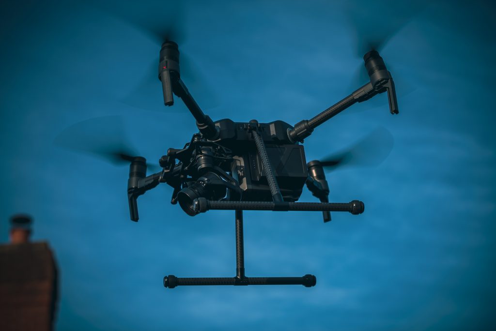
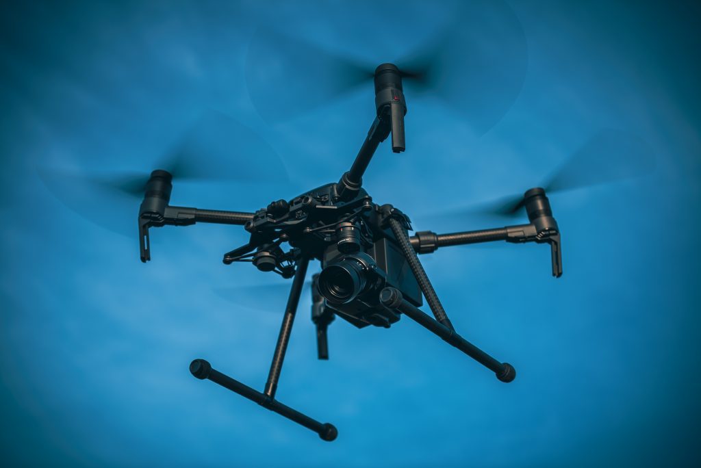
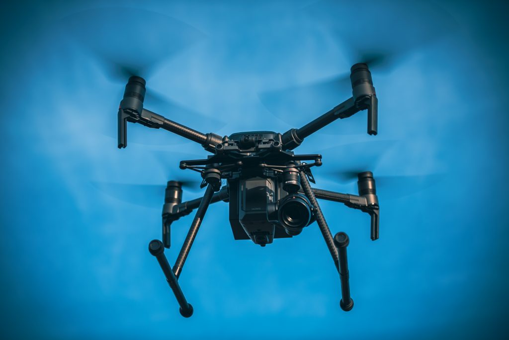
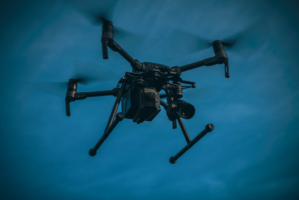
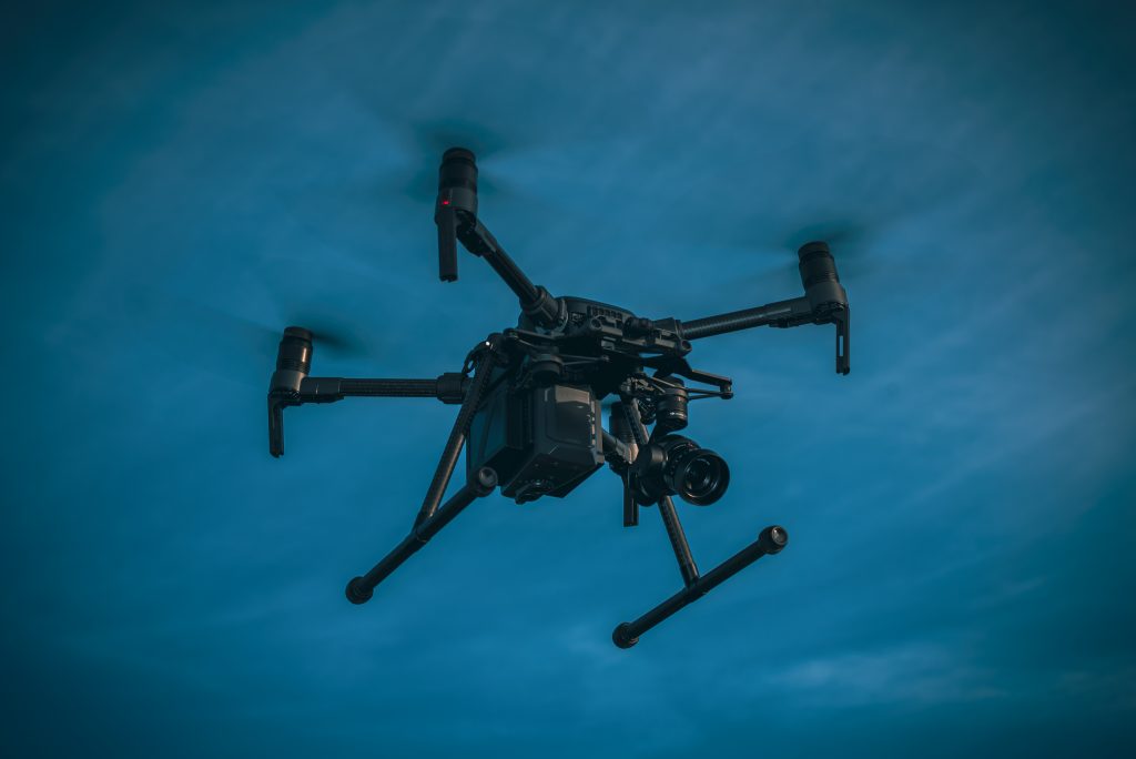
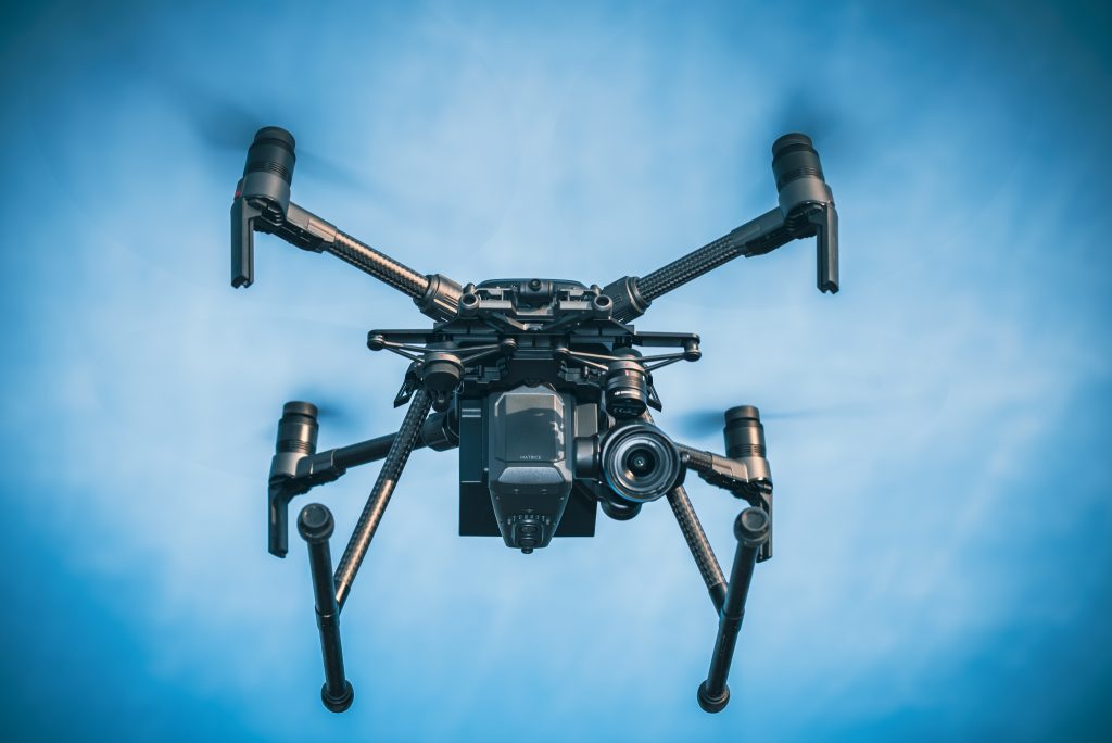
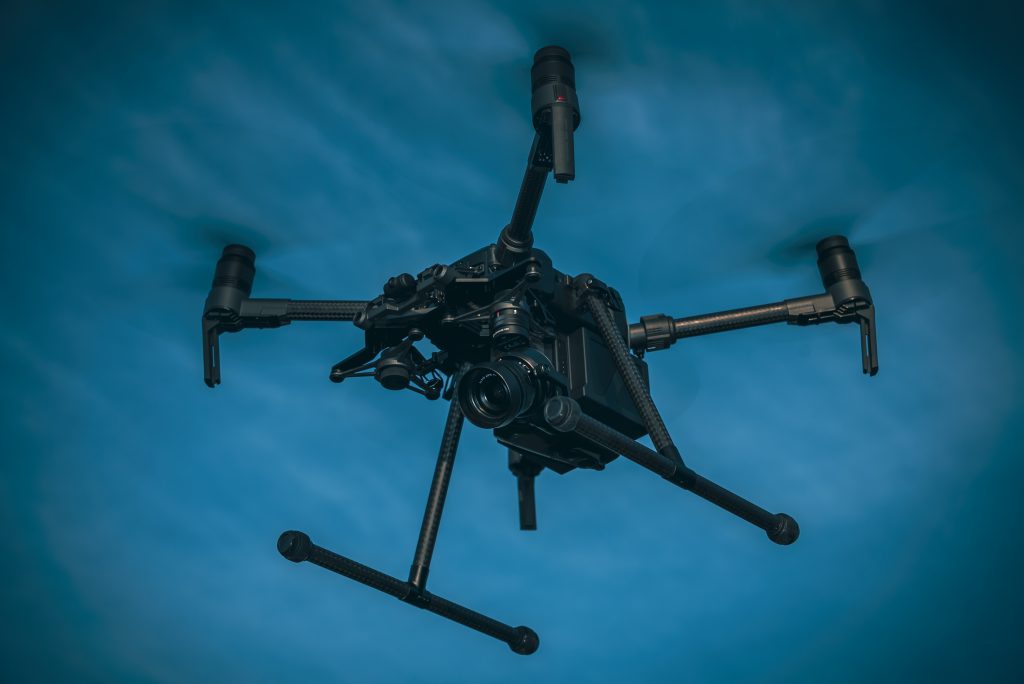
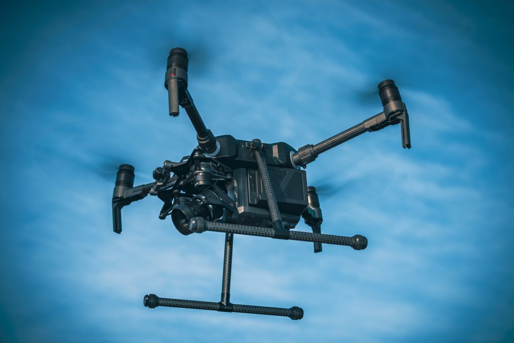
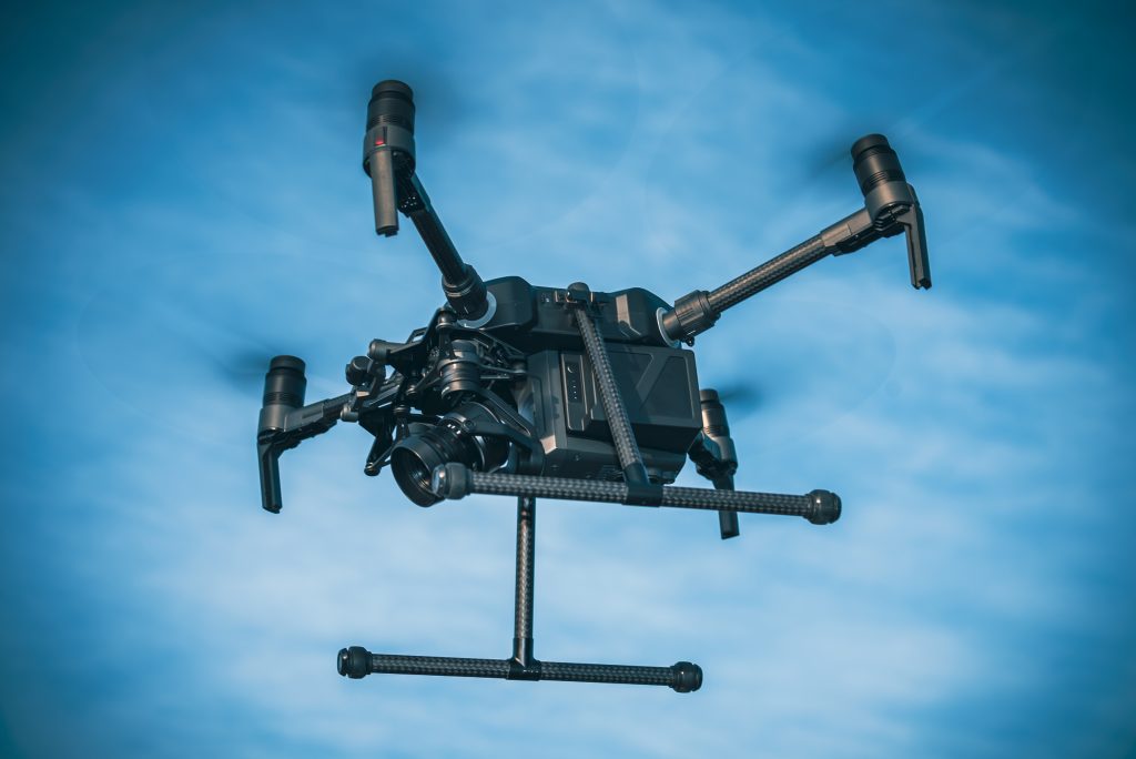
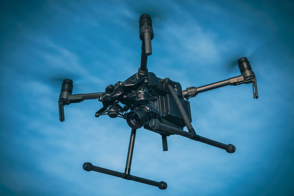
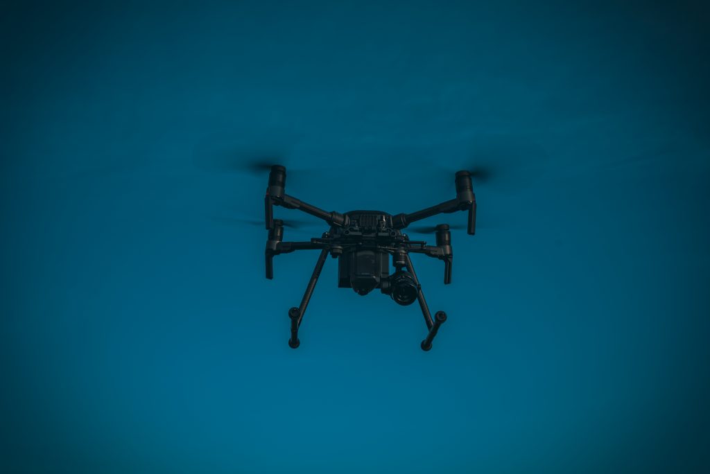
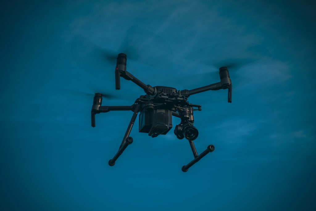
Impact Aerial Ltd Drone Images

How Commercial Drones are Revolutionizing Chartered Surveying in the UK

The landscape of chartered surveying in the United Kingdom is rapidly evolving with the advent of cutting-edge technology, and one of the most transformative innovations is the use of commercial drones. Traditionally, surveying has involved time-consuming, labor-intensive techniques using ground-based tools like total stations, theodolites, and GPS systems. But drones—also known as Unmanned Aerial Vehicles (UAVs)—are now empowering chartered surveyors to work faster, more safely, and with unprecedented accuracy.

This blog explores how commercial drones are transforming the surveying profession in the UK, highlighting key benefits and real-world applications.

Why Drones for Surveying?

Chartered surveyors are responsible for assessing land, buildings, and infrastructure with a high degree of precision. Whether for land development, construction, or property assessment, surveys must be thorough and accurate. The traditional methods of gathering data often involve costly equipment, manual labor, and, in some cases, risky operations like climbing scaffolding or accessing hazardous areas.

Drones are addressing many of these challenges by offering a bird’s-eye view, capturing high-resolution imagery, and collecting data in a fraction of the time. With drones, surveyors can quickly access difficult-to-reach locations, monitor large areas efficiently, and reduce the risks associated with manual inspection. Equipped with high-end cameras, sensors, and LiDAR technology, drones have become indispensable in delivering accurate data for various surveying tasks.

Key Applications of Drones in Chartered Surveying

  1. Topographic Surveys and Mapping One of the primary uses of drones in surveying is for creating detailed topographic maps. Drones equipped with photogrammetry software and high-resolution cameras can capture aerial images and transform them into 2D orthomosaic maps or 3D terrain models. This aerial data is invaluable for large-scale construction projects, land development, and environmental assessments. Traditional topographic surveys are often labor-intensive and take days to complete. Drones, on the other hand, can survey vast areas in a matter of hours, providing accurate elevation data that is critical for planning purposes. With the ability to map terrain at different altitudes and over uneven ground, drones have become a game-changer for surveyors working in the construction and real estate sectors.
  2. Building Inspections and Condition Surveys For chartered surveyors tasked with inspecting large or complex structures—such as office blocks, bridges, and industrial sites—drones offer a safer, more efficient alternative to manual inspections. Instead of relying on scaffolding, ladders, or cherry pickers, drones can fly around and above structures, capturing close-up footage of roofs, facades, and hard-to-reach areas. These high-definition images and videos allow surveyors to identify structural issues, such as cracks, water damage, or material degradation, without putting themselves at risk. Drones equipped with thermal imaging cameras can also detect heat loss, moisture build-up, or leaks in buildings, offering a more comprehensive inspection without disrupting operations.
  3. Land and Property Surveys In real estate and property development, accurate and detailed land surveys are essential for making informed decisions. Drones enable surveyors to capture high-resolution aerial photographs and videos that provide a complete overview of the property, making it easier to assess boundaries, site conditions, and potential development issues. Drones also allow for rapid assessments of large estates or agricultural land, offering data that can be used to calculate property values, determine land use, or plan new developments. For property managers, investors, and developers, drones provide a cost-effective and fast way to gather critical information that was previously time-consuming and expensive to obtain.
  4. Infrastructure Surveys and Monitoring Large infrastructure projects—such as roadways, railways, power lines, and pipelines—require continuous monitoring to ensure they remain safe and operational. Drones are increasingly being used by surveyors to monitor these assets in real time, identifying maintenance needs or detecting potential hazards before they become significant problems. By deploying drones with sensors like LiDAR (Light Detection and Ranging), surveyors can create accurate 3D models of infrastructure, identify changes in the landscape, or assess structural integrity. Drones can cover vast distances quickly, reducing the need for manual inspections and minimizing the downtime of critical infrastructure.
  5. Heritage and Archaeological Surveys Surveyors working on heritage and archaeological sites also benefit from drone technology. Drones allow surveyors to capture detailed aerial imagery of ancient structures, historic buildings, or excavation sites without disturbing sensitive areas. This data can then be used to create 3D reconstructions, monitor the condition of sites over time, and guide conservation efforts. With drones, surveyors can document historic sites more accurately than ever before, ensuring that vital heritage landmarks are preserved for future generations.

Benefits of Drones for Chartered Surveyors

  1. Increased Efficiency and Speed Drones can cover large areas in a fraction of the time required by traditional methods. This allows surveyors to complete surveys more quickly, reducing project timelines and costs. For example, what might take days using manual methods can be accomplished in hours with a drone, giving surveyors more time to focus on analyzing data and delivering insights.
  2. Enhanced Safety Drones reduce the need for surveyors to enter potentially hazardous environments. Whether inspecting a tall building, a busy construction site, or a remote terrain, drones can safely capture data from the air, eliminating the risks associated with working at heights or in dangerous areas.
  3. Greater Accuracy and Data Quality Equipped with GPS, high-definition cameras, and advanced sensors, drones collect highly accurate data, often with millimeter-level precision. Surveyors can generate detailed models, maps, and reports with far greater accuracy than traditional surveying methods. The combination of real-time data and advanced analytics improves decision-making and ensures better project outcomes.
  4. Cost Savings While drones represent an initial investment in terms of hardware and training, the long-term savings are significant. By reducing labor costs, speeding up project timelines, and eliminating the need for expensive equipment like scaffolding or helicopters, drones provide a clear return on investment for chartered surveyors.
  5. Environmental Benefits Drones offer an eco-friendly alternative to traditional surveying methods that may involve heavy machinery or vehicles. By reducing the need for ground-based transportation and minimizing disturbances to the environment, drones support more sustainable surveying practices.

Regulatory Considerations

In the UK, the use of commercial drones is regulated by the Civil Aviation Authority (CAA). Chartered surveyors who use drones must comply with these regulations, which include obtaining the proper licenses, ensuring safe flight operations, and adhering to privacy laws. The CAA’s “Permission for Commercial Operations” (PfCO) ensures that drone operators are trained and certified to fly drones safely and responsibly in commercial environments.

As drone technology continues to advance, regulations are evolving to accommodate new capabilities while ensuring public safety and privacy.

The Future of Drones in Surveying

The future of surveying in the UK is closely tied to advancements in drone technology. As drones become more sophisticated—integrating artificial intelligence, machine learning, and advanced sensors—chartered surveyors will gain even more powerful tools for data collection and analysis. In the coming years, drones are expected to play an even larger role in creating digital twins, performing automated inspections, and driving the growth of smart cities.

Conclusion

Commercial drones are revolutionizing the field of chartered surveying in the United Kingdom. From topographic mapping and building inspections to infrastructure monitoring and heritage conservation, drones provide chartered surveyors with faster, safer, and more accurate tools for capturing critical data. By embracing this technology, surveyors can enhance their services, reduce costs, and deliver better results for clients across the country.

As drone technology continues to evolve, it is poised to become an indispensable asset in the surveying profession, helping to shape the future of the built environment in the UK and beyond.

Drone use in the Agriculture Industry

A DJI Agras T10 Agricultural Spraying Drone

Drones in Sustainable Agriculture: A Technological Revolution for Greener Farming

As the world faces increasing pressure to feed a growing population while mitigating environmental impact, sustainable agriculture has become more critical than ever. One of the most promising tools in achieving this balance is drone technology. Drones are revolutionizing the agricultural landscape by offering farmers precise data, efficient monitoring, and environmentally friendly solutions, all of which contribute to more sustainable farming practices.

This blog explores how drones are being integrated into sustainable agriculture, their applications, and the benefits they offer in promoting more eco-friendly farming methods.

The Role of Drones in Sustainable Agriculture

Sustainable agriculture seeks to meet current food production needs without compromising the ability of future generations to do the same. It focuses on practices that conserve natural resources, reduce chemical inputs, enhance biodiversity, and minimize waste. Drones, also known as unmanned aerial vehicles (UAVs), offer a high-tech solution to many of these goals by providing farmers with valuable data and tools to optimize their operations. Their precise aerial monitoring capabilities enable better decision-making, reduce resource usage, and increase overall farm efficiency.

Key Applications of Drones in Sustainable Agriculture

  1. Precision Agriculture and Crop Monitoring Drones play a pivotal role in precision agriculture, which is all about providing crops with exactly what they need for optimal growth. Equipped with multispectral, thermal, and RGB cameras, drones can monitor crops at different stages of growth, identify areas suffering from stress, and assess soil conditions. This helps farmers make more informed decisions about water usage, fertilizer application, and pest management, reducing the need for excessive inputs. For example, by using infrared cameras, drones can measure a crop’s “Normalized Difference Vegetation Index” (NDVI), which helps determine plant health by analyzing how much light plants absorb versus reflect. This kind of insight is invaluable in detecting early signs of crop stress due to disease, pests, or inadequate irrigation, allowing farmers to take corrective action in a targeted, efficient manner.
  2. Water Management and Irrigation Efficiency Water is a vital resource, and its scarcity is one of the biggest challenges facing sustainable agriculture today. Drones provide a solution through their ability to monitor large fields quickly and efficiently. By using thermal sensors, drones can assess soil moisture levels and identify areas where irrigation is either insufficient or excessive. This ensures that water is used only where it’s needed, reducing waste and conserving this precious resource. Furthermore, drones can detect issues like clogged irrigation systems or leaks, allowing for prompt maintenance and avoiding water wastage. In regions prone to drought or with limited water availability, this precise monitoring can significantly improve irrigation efficiency and crop yield while promoting water conservation.
  3. Pest and Disease Management Traditionally, pest control has relied heavily on chemical pesticides, which can lead to environmental pollution, soil degradation, and harm to non-target species. Drones offer a more sustainable approach by providing early detection of pest infestations and disease outbreaks. They can scan large areas for signs of pests or disease-related stress and map out affected zones with pinpoint accuracy. Once a problem is identified, drones equipped with sprayers can apply pesticides or biological treatments in a highly targeted manner. This reduces the need for blanket applications across an entire field, lowering the overall use of chemicals. By minimizing pesticide usage, drones help protect beneficial insects like pollinators and reduce the risk of chemical runoff into waterways, supporting a healthier ecosystem.
  4. Soil Health and Nutrient Management Healthy soil is the foundation of sustainable agriculture, as it supports plant growth, stores carbon, and sustains biodiversity. Drones play an important role in soil health management by providing farmers with detailed information about soil composition and nutrient levels. Through remote sensing technology, drones can create detailed soil maps that help identify areas with nutrient deficiencies or compaction issues. This information allows farmers to apply fertilizers more efficiently, reducing the risk of over-application, which can lead to nutrient runoff and water contamination. By optimizing fertilizer use, drones not only enhance crop productivity but also protect soil health and reduce the environmental impact of farming practices.
  5. Reforestation and Agroforestry Initiatives Drones are being used in innovative ways to support reforestation and agroforestry, both of which are critical components of sustainable land management. In some areas, drones are employed to plant trees or cover crops in hard-to-reach or degraded areas. These drone-planting systems can rapidly distribute seeds over large areas, making reforestation efforts faster and more efficient. Agroforestry, which integrates trees into agricultural landscapes, is another area where drones can assist. By monitoring tree health, identifying areas for new planting, and assessing the impact of tree coverage on soil erosion and microclimates, drones help make agroforestry a more practical and scalable solution for farmers interested in combining sustainability with economic productivity.
  6. Livestock Monitoring and Management For farms that incorporate livestock, drones offer significant advantages in sustainable herd management. Drones can monitor large grazing areas, track livestock movement, and assess pasture health to ensure animals are grazing in areas that promote soil regeneration and biodiversity. This helps prevent overgrazing and soil degradation, both of which can lead to desertification and loss of productive land. Additionally, drones can monitor the health of livestock, quickly identifying animals that may be injured or sick. This allows for early intervention and reduces the spread of disease, contributing to healthier herds and more efficient livestock management.

The Benefits of Drones for Sustainable Farming

  1. Reduced Environmental Impact
    By enabling precision agriculture, drones help reduce the use of chemical fertilizers and pesticides, lower water consumption, and prevent soil degradation. This minimizes the negative environmental impact of farming practices, contributing to healthier ecosystems and promoting biodiversity.
  2. Increased Crop Yields
    Drones provide farmers with detailed insights into crop health and soil conditions, allowing them to take timely and informed actions. This leads to healthier plants, more efficient resource use, and higher yields, all while maintaining or improving sustainability.
  3. Resource Conservation
    One of the most significant advantages of using drones in sustainable agriculture is the efficient use of resources. Whether it’s water, fertilizers, or labor, drones ensure that inputs are applied precisely where and when they are needed, reducing waste and conserving natural resources.
  4. Cost Efficiency
    Although drone technology represents an initial investment, the long-term savings are substantial. By reducing the need for manual labor, minimizing input costs, and increasing crop productivity, drones provide a clear return on investment for farmers committed to sustainability.
  5. Improved Data Collection and Decision-Making
    The data collected by drones enables farmers to make more accurate and timely decisions. Instead of relying on guesswork or sporadic inspections, farmers have access to continuous, real-time information that helps optimize operations, ensuring better management of both crops and livestock.

Challenges and the Future of Drones in Sustainable Agriculture

While the benefits of drones in agriculture are clear, there are challenges to widespread adoption, including the cost of technology, the need for skilled operators, and regulatory concerns related to airspace and privacy. However, as drone technology becomes more accessible and regulations adapt, these barriers are likely to diminish.

The future of drones in sustainable agriculture is bright. Advances in artificial intelligence and machine learning will enhance drone capabilities, enabling even more precise analysis and autonomous decision-making. Drones will likely integrate with other emerging technologies, such as Internet of Things (IoT) sensors and robotics, further improving farm efficiency and sustainability.

Conclusion

Drones are proving to be invaluable tools in the quest for more sustainable agriculture. Their ability to monitor crops, manage resources, and optimize inputs makes them an essential component of modern farming. By reducing environmental impact, improving crop yields, and conserving resources, drones are helping farmers adopt more sustainable practices while meeting the demands of a growing global population.

As drone technology continues to evolve, its role in sustainable agriculture will only expand, offering new opportunities to make farming smarter, greener, and more efficient.

Drones in Construction – updated for September 2024

DJI Matrice 300RTK
A DJI Matrice 300 RTK Drone

Drones in Construction: Revolutionizing the Industry

The construction industry is undergoing a profound transformation, driven by the adoption of cutting-edge technologies. Among these, drones have emerged as game changers, bringing efficiency, safety, and precision to various construction processes. These unmanned aerial vehicles (UAVs) are reshaping how construction projects are planned, executed, and monitored, offering significant benefits for both large-scale developments and smaller projects.

The Rise of Drones in Construction

Drones, once viewed primarily as tools for aerial photography or entertainment, have quickly evolved into versatile instruments in the construction sector. Their ability to capture real-time data from heights and hard-to-reach areas offers construction managers and engineers unprecedented insights into site conditions, project progress, and potential issues. This digital shift is part of a broader movement toward automation and smart construction.

Key Applications of Drones in Construction

  1. Site Surveys and Mapping
    Traditional land surveying methods are often time-consuming and costly, especially for large or complex sites. Drones equipped with high-resolution cameras and LiDAR sensors can quickly generate detailed topographical maps and 3D models. This enables faster and more accurate site analysis, ensuring better planning and fewer surprises during construction.
  2. Progress Monitoring and Reporting
    Drones provide real-time aerial footage of construction sites, allowing project managers to monitor progress and assess if timelines are being met. By regularly capturing aerial images, stakeholders can track development, make informed decisions, and even compare the current state of the project against architectural plans. This continuous feedback loop helps prevent costly delays and errors.
  3. Inspection and Safety
    Construction sites are inherently hazardous environments, with workers exposed to various risks. Drones help enhance safety by reducing the need for human involvement in dangerous tasks such as inspecting high structures, scaffolding, or hard-to-reach areas. Instead of sending workers to potentially perilous locations, drones can quickly and safely perform detailed inspections, identifying structural issues, material degradation, or areas in need of repair.
  4. Inventory Management and Asset Tracking
    Large construction projects often involve complex logistics, with materials and equipment spread across wide areas. Drones can be employed to monitor inventory levels, locate specific assets, and even assist in deliveries on-site. This leads to better resource allocation and ensures that construction materials are available when needed, minimizing downtime.
  5. Aerial Imaging for Marketing and Documentation
    High-quality drone footage provides stunning visual representations of construction projects. This is not only useful for project documentation but also for marketing purposes. Developers can use drone-captured images and videos to showcase the progress of their projects to clients, investors, and potential buyers, offering a bird’s-eye view of the site’s transformation.

Benefits of Using Drones in Construction

  1. Cost Savings
    Drones reduce the need for expensive and labor-intensive processes such as scaffolding for inspections or hiring helicopters for aerial photography. Additionally, by enabling more efficient planning and resource management, they help reduce rework and waste, leading to significant cost savings over the lifecycle of a project.
  2. Improved Accuracy
    Drones equipped with advanced sensors can capture data with millimeter-level precision, surpassing the accuracy of many traditional surveying methods. This ensures that designs are accurately translated from plans to reality, reducing the likelihood of costly mistakes.
  3. Enhanced Communication
    With aerial images and data readily available, drones improve communication among various stakeholders, from architects and engineers to project managers and clients. These visual reports provide everyone with a clear understanding of progress and potential challenges, making collaboration smoother and more transparent.
  4. Time Efficiency
    Drones can complete tasks in a fraction of the time required by traditional methods. A site survey that might take days or weeks using manual techniques can be accomplished in just a few hours with a drone. This speed not only accelerates project timelines but also allows for more agile decision-making during the construction process.

Challenges and Future Outlook

While the benefits of drone technology in construction are clear, there are challenges to consider. Regulatory hurdles, particularly around airspace restrictions and privacy concerns, need to be navigated. Additionally, drone operators require specialized training to ensure safe and effective usage.

Despite these challenges, the future of drones in construction is bright. As technology advances, we can expect drones to become even more autonomous, with improved AI capabilities for data processing and real-time decision-making. Their integration with other technologies, such as Building Information Modeling (BIM) and augmented reality, will further enhance their value in the construction ecosystem.

Conclusion

Drones are no longer just a futuristic concept in construction – they are an essential tool that is transforming the way projects are executed. From site surveys and safety inspections to progress monitoring and asset management, drones are driving the industry toward greater efficiency, safety, and sustainability. As adoption continues to grow, we can expect drones to play an even more significant role in shaping the future of construction.

Incorporating drones into construction not only improves the bottom line but also sets a foundation for smarter, safer, and more resilient buildings and infrastructure.

How the Drone is Used in Commercial Filmmaking?

In an ever-evolving world of film production, the transformative impact of drone technology has cast a new light on the filmmaking industry. With each passing day, drones are rewriting the narrative of how cinematic artistry is conceptualised, executed, and experienced. As the boundaries of traditional filmmaking methods become increasingly apparent, the need for innovative techniques to capture captivating visuals in commercial films has become imperative. From capturing awe-inspiring aerial shots to revolutionising visual storytelling, drones have emerged as a DJI-inspired force that is reshaping the very fabric of the film industry.

Reasons Why Drones are Essential in Commercial Filmmaking

In an era where storytelling is as much about the visuals as the narrative, drones have become indispensable in the realm of commercial filmmaking. Their prowess lies not only in their ability to capture dynamic and breathtaking shots but also in their capacity to access challenging and unique perspectives that were once out of reach. As drone technology intertwines with film production, it enhances visual storytelling possibilities, streamlines production setup and efficiency, and significantly reduces costs compared to traditional methods. The result? Elevated production value, cinematic quality, and a cinematic experience that transcends expectations. Drones are more than just tools; they are creative catalysts that expand the creative horizons and narrative options for filmmakers.

8 Advantages of Incorporating Drones in Filmmaking

The fusion of drone technology with the art of filmmaking yields a spectrum of advantages that elevate the craft to unprecedented heights. By seamlessly integrating drones into the filmmaking process, a myriad of benefits reshapes the landscape of modern cinematic storytelling. These advantages redefine not only how stories are told but also how they are experienced by audiences worldwide.

  • Unique Creative Perspectives: Drones grant filmmakers the power to capture scenes from angles that were once unimaginable. With soaring aerial shots and dynamic movements, filmmakers can infuse their narratives with a distinctive visual language that resonates deeply with viewers.
  • Cost-Effective Aerial Shots: The once prohibitive cost of capturing awe-inspiring aerial shots has significantly diminished with drones. Traditional methods involving helicopters or cranes can now be replaced with drones, providing filmmakers with breathtaking visuals without breaking the budget.
  • Enhanced Production Value: The integration of drone shots elevates a film’s production value, creating a sense of grandeur that enhances the overall cinematic experience. These shots imbue scenes with an ethereal quality that adds depth and visual richness to the storytelling.
  • Time-Efficient Setup and Shooting: Drones enable filmmakers to capture shots more efficiently, reducing the time required for setup and shooting. This newfound efficiency allows for smoother production timelines and increased flexibility in bringing creative visions to life.
  • Versatility Across Genres: Whether it’s a sweeping landscape shot in an epic fantasy or an intimate chase sequence in a thriller, drones adapt seamlessly to diverse genres. This versatility empowers filmmakers to experiment with visual storytelling across different narratives.
  • Heightened Audience Engagement: Aerial perspectives achieved through drones captivate audiences and immerse them in the on-screen world. The immersive nature of drone footage intensifies emotional connections, leading to heightened engagement and a more memorable cinematic experience.
  • Overcoming Technical Challenges: Filming in challenging environments or capturing complex sequences becomes achievable with drones. Overcoming technical challenges that were once insurmountable expands the realm of possibilities for filmmakers.
  • Access to Challenging Locations: Drones break geographical barriers, providing access to locations that were previously unreachable or costly to film in. This opens up a treasure trove of settings that can enrich the narrative and add authenticity to the story.

Hence, the incorporation of drones in filmmaking is not merely a technological enhancement; it’s a revolution that empowers storytellers to push boundaries, redefine norms, and immerse audiences in captivating narratives. From unique perspectives and cost-effective shots to enhanced production value and overcoming challenges, the advantages of drones enrich the art of filmmaking, creating a landscape of limitless possibilities.

Conclusion

As we journey through the evolution of film production, it becomes clear that drones have unveiled a new dimension in the art of storytelling. With their revolutionary capabilities, they offer not only a new way of seeing but also a new way of experiencing cinema. By embracing drone technology, filmmakers have the power to unlock a realm of creative possibilities that were once unfathomable. To harness the full potential of this DJI-inspired innovation, take the leap and explore the endless horizons of drone filmmaking.

If you’re ready to elevate your cinematic creations with awe-inspiring aerial shots, immersive perspectives, and groundbreaking narratives, look no further than Impact Aerial. Our expertise in aerial filming and drone cinematography is your gateway to redefining the boundaries of cinematic storytelling. Let your vision soar to new heights through the magic of drone technology, and craft a cinematic masterpiece that resonates with audiences across the film industry.

Reach out to Impact Aerial at Phone: 0800 321 3258 / 0203 290 1004, Email: hello@ImpactAerial.co.uk, and discover the limitless possibilities that await you in the world of aerial cinematography and filmmaking. Step into the future of film production and witness the evolution of storytelling through the lens of drone technology. Embrace the art of drone filmmaking and pave the way for your cinematic journey into the future.

What is an Aerial Drone Survey?

What is an Aerial Drone Survey?

In today’s fast-paced world, where accuracy and efficiency are paramount, industries are constantly seeking innovative solutions to gather essential data for their operations. One such revolutionary approach is the use of aerial drone surveys, which harnesses the power of advanced drone technology to provide accurate and comprehensive data collection. In this article, we will delve into the world of aerial drone surveys, exploring their significance, defining factors, and the diverse industries that are embracing this game-changing technology.


6 Factors that Define Aerial Drone Surveys

The importance of accurate data collection cannot be overstated, especially in industries where precision is essential. Aerial drone surveys address this need by providing an efficient and reliable way to gather data from above. Let’s explore the factors that define aerial drone surveys and contribute to their effectiveness:

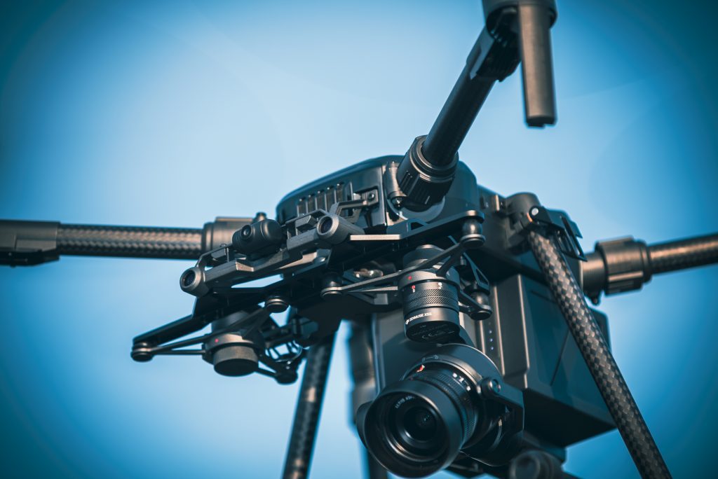
1. Drone-equipped hardware: Aerial drone surveys rely on state-of-the-art drone technology that is equipped with advanced sensors, cameras, and GPS systems. This hardware ensures the collection of high-quality data from various altitudes and angles.

2. Aerial data collection: Drones are capable of capturing a wealth of data through aerial imagery and remote sensing technologies. This data can then be processed to create accurate maps, 3D models, and orthomosaic images.

3. Geographic Information Systems (GIS): A crucial aspect of aerial drone surveys is the integration of Geographic Information Systems. GIS technology allows for the organisation, analysis, and visualisation of spatial data, enhancing the understanding of geographical patterns.

4. Data analysis: The data collected through aerial drone surveys can be processed and analysed using specialised software. This analysis provides valuable insights and measurements for various industries, from construction to agriculture.
5. Compliance with aviation regulations: Operating drones for aerial surveys requires adherence to aviation regulations set by relevant authorities. Ensuring compliance is crucial for the safety and legality of the surveys.

6. Skill and training requirements: Piloting drones and analysing the collected data demand specific skills. Drone pilots and data analysts undergo training to ensure accurate survey execution and meaningful data interpretation.

Common Industries Applying Aerial Drone Surveys

The application of aerial drone surveys spans across numerous industries, transforming their operations and efficiency. Let’s explore some of the common sectors where drone technology is revolutionising data collection:

1. Agriculture: Aerial drone surveys provide farmers with invaluable insights into crop health, growth patterns, and irrigation needs. These surveys enable precision agriculture by facilitating targeted interventions and resource management.

2. Construction: The construction industry benefits from accurate land surveys, progress monitoring, and site analysis. Drones offer real-time visual data, aiding project management and decision-making.

3. Environmental Conservation: Aerial surveys help monitor ecosystems, track changes in habitats, and assess wildlife populations. This data supports conservation efforts and informs policy decisions.

4. Mining: Aerial drone surveys are used for volumetric measurements, stockpile management, and site mapping in the mining industry. This streamlines operations and optimises resource allocation.

5. Infrastructure Inspection: Drones enable efficient and safe inspection of infrastructure such as bridges, pipelines, and power lines. They identify defects, erosion, and maintenance needs without risking human safety.

6. Archaeology: Aerial drone surveys assist archaeologists in mapping archaeological sites, capturing intricate details, and creating accurate documentation. This technology aids historical preservation and research.

7. Urban Planning: Urban planners utilise drone surveys to analyse land usage, traffic patterns, and infrastructure planning. This data informs sustainable urban development and enhances city management.

Conclusion

In conclusion, the revolutionary impact of aerial drone surveys on data collection across various industries is undeniable. From agriculture to construction, environmental conservation to urban planning, the incorporation of drone technology has elevated efficiency and accuracy in a multitude of sectors. By embracing drone surveys, industries can harness precise and valuable insights that drive informed decision-making and streamline operations.

To embark on a journey of enhanced data collection and strategic decision-making, partner with Impact Aerial. With a comprehensive range of services, including drone-based aerial inspections, thermal image surveys, 3D modelling, and more, we specialize in delivering accurate and insightful results. Our operations are led by fully trained and licensed CAA PfCO pilots who adhere to strict safety standards.

Ready to unlock the full potential of aerial drone surveys for your business? Contact us at 0800 321 3258 / 0203 290 1004 / 07894 263 644 or email us at hello@ImpactAerial.co.uk to explore how our expertise can transform your data-driven strategies. With Impact Aerial, you’re not just reaching for the sky – you’re soaring above it, equipped with precise and valuable insights that redefine the way you operate and succeed.

Why Drone Filming is Becoming a Key Marketing Tool for Birmingham Businesses

In a world of digital noise and fierce competition, businesses are on a quest for that captivating edge that will make them soar above the rest. Enter the dynamic duo of drone photography and aerial video, the ultimate power couple revolutionising marketing visuals. These aerial perspectives have taken flight, providing a bird’s-eye view that turns heads and sets businesses apart. 

Now, the Birmingham business scene is catching on, harnessing the power of drone technology to unlock new dimensions of real estate promotion, digital marketing, and virtual tours. So, fasten your seatbelts and join us on this exhilarating journey as we uncover why drone filming has become the secret weapon of professional drones and the superhero in the realm of digital marketing. Get ready to explore the sky-high possibilities and take your marketing strategies to new heights!

7 Reasons Why Drone Filming is Essential for Birmingham Businesses

  • Unique and Captivating Visual Content: Drone filming provides businesses in Birmingham with the ability to capture stunning aerial shots and create visually captivating content. The bird’s-eye view offered by drones adds a unique perspective that immediately grabs the viewer’s attention and sets businesses apart.
  • Increased Brand Visibility and Recognition: By incorporating drone photography and aerial video into their marketing campaigns, Birmingham businesses can enhance their brand visibility and recognition. Aerial perspectives offer a fresh and memorable way to showcase products, services, and locations, leaving a lasting impression on the audience.
  • Enhanced Storytelling and Audience Engagement: Drone filming allows businesses to tell their story in a more engaging and immersive way. Aerial footage adds a sense of drama and scale to narratives, drawing viewers in and keeping them captivated throughout the storytelling process.
  • Showcasing Birmingham’s Unique Selling Points: With its rich history, stunning architecture, and vibrant culture, Birmingham has plenty of unique selling points to showcase. Drone photography and aerial video enable businesses to highlight the city’s landmarks, attractions, and real estate from a whole new perspective, enticing potential customers and investors.
  • Reaching Wider Audiences and Target Demographics: Through drone filming, businesses can expand their reach and target specific demographics. Aerial visuals have broad appeal and are particularly effective in industries such as real estate, tourism, and events. By incorporating drone footage into their marketing strategies, Birmingham businesses can attract a wider audience and increase their customer base.
  • Gaining a Competitive Edge in Marketing Campaigns: In a competitive digital landscape, businesses need to find ways to differentiate themselves. Professional drone photography and aerial video provide a unique edge in marketing campaigns, helping businesses stand out and leave a lasting impression on potential customers.
  • Generating Excitement and Curiosity Among Viewers: Drone footage has an inherent ability to generate excitement and curiosity among viewers. Whether it’s a virtual tour of a property, a captivating aerial view of an event, or a mesmerising shot of Birmingham’s skyline, drone filming creates a sense of wonder that captivates audiences and sparks their curiosity.

6 Factors Driving the Adoption of Drone Filming in Birmingham’s Marketing

  • Technological Advancements in Drone Capabilities: The rapid advancements in drone technology have made professional drone filming more accessible and versatile than ever before. High-resolution cameras, stable flight controls, and intelligent features have empowered businesses in Birmingham to capture breathtaking aerial photography and video.
  • Affordability and Accessibility of Drone Technology: As the cost of drone technology continues to decrease, it has become more affordable and accessible to businesses in Birmingham. This affordability has opened up new opportunities for businesses of all sizes to incorporate drone filming into their marketing strategies.
  • Increased Consumer Demand for Visually Compelling Content: Consumers today have an insatiable appetite for visually compelling content. Drone photography and aerial video provide an exciting and immersive experience for viewers, satisfying their desire for captivating visuals that stand out in a crowded digital landscape.
  • Influence of Aerial Perspectives in Storytelling: Aerial perspectives have a profound impact on storytelling. They offer a fresh and dynamic angle that enhances narratives and brings stories to life. By incorporating drone filming into their marketing efforts, businesses in Birmingham can tap into the power of aerial perspectives to engage their audience on a deeper level.
  • Growing Use of Social Media Platforms for Marketing: Social media platforms have become powerful marketing tools, and visual content performs exceptionally well on these platforms. Drone photography and aerial video are highly shareable and have the potential to go viral, increasing brand exposure and driving engagement on social media.
  • Competition in the Digital Marketing Landscape: In a competitive digital marketing landscape, businesses in Birmingham need to constantly innovate and find ways to stand out. The adoption of drone filming has become a strategic necessity to keep up with competitors and meet the growing demand for visually captivating content.

Conclusion 

In conclusion, drone filming has become an indispensable marketing tool for Birmingham businesses, and Impact Aerial is at the forefront of delivering exceptional services in this domain. As a leading provider of drone photography and videography, Impact Aerial caters to various industry vertical markets, including commercial and residential property developers, building services, architects, and film production. Our expertise in capturing stunning aerial visuals ensures that businesses can effectively showcase our offerings and captivate our target audience.

By incorporating drone filming into our marketing strategies, Birmingham businesses can elevate their brand visibility, engage audiences through unique and captivating content, and highlight the distinct features of the city. The technological advancements in drone capabilities, combined with its affordability and the growing demand for visually compelling content, have driven the adoption of drone filming as a competitive edge in the digital marketing landscape.

To take advantage of the benefits offered by drone filming, businesses can contact Impact Aerial at our address: 2 Norton Drive, Wythall, Birmingham, B47 6HH. They can be reached via telephone at 0800 321 3258 / 0203 290 1004 / 07894 263 644 or through email at [email protected] Unlock the potential of aerial photography, aerial video, and virtual tours with Impact Aerial and soar to new heights of marketing success in Birmingham.

Revolutionising Real Estate: The Rise of Virtual Drone Tours in the Property Industry

Located in the vibrant West Midlands region, Birmingham has wholeheartedly embraced the remarkable advancements in drone technology, heralding a new era of possibilities for businesses across diverse industries. The soaring popularity of drone services in recent years has been a testament to the exceptional benefits they bring to the table. 

In Birmingham, a wide array of sectors has eagerly adopted drone technology to revolutionise their operations, bolster efficiency, and secure a notable competitive advantage. From breathtaking drone photography to the seamless integration of drone operations, businesses in Birmingham are harnessing the immense potential of these unmanned aerial marvels to foster growth and propel themselves to unprecedented heights.

Aerial Mapping and Surveying

Drone services offer businesses in Birmingham the ability to conduct aerial mapping and surveying, providing them with highly accurate and comprehensive data. Drones equipped with high-resolution cameras and advanced sensors can capture detailed images and topographical information about landscapes, construction sites, or infrastructure. 
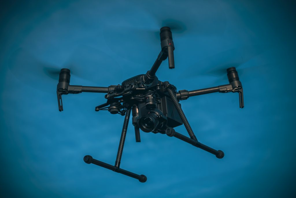
This data can be used for precise measurements, creating 3D models, and conducting detailed analyses. By leveraging drone technology, businesses can save time and resources compared to traditional surveying methods. The accurate data obtained through aerial mapping and surveying empowers businesses in Birmingham to make informed decisions, plan projects more effectively, and optimise resource allocation for improved operational efficiency and growth.

7 Common Industries Benefiting from Drone Services in Birmingham

Drone technology is revolutionising the way businesses operate in Birmingham, and several industries are reaping the rewards. Here are seven sectors that are leveraging the power of drones:

  • Construction and Real Estate: In the West Midlands, drone technology is revolutionising the construction and real estate industries. Drones provide invaluable aerial views and precise measurements for surveying, mapping, and monitoring construction sites. 
  • Agriculture and Farming: Birmingham’s farmers are reaping the benefits of drone technology in their agricultural practices. Drones assist in crop monitoring, allowing farmers to analyse plant health, detect diseases, and optimise irrigation and fertilisation. 
  • Infrastructure Inspection and Maintenance: Drones are transforming the way infrastructure is inspected and maintained in the West Midlands. With their ability to access hard-to-reach areas, drones enable safe and efficient inspections of bridges, buildings, and other critical infrastructure. By identifying maintenance needs and potential issues, drones contribute to reducing operational downtime, improving infrastructure safety, and streamlining maintenance processes.
  • Logistics and Supply Chain Management: Drone technology is reshaping the logistics and supply chain landscape in the West Midlands. Drones offer the potential for quick and cost-effective last-mile deliveries, bypassing traffic congestion and reducing delivery times. This innovation in drone operations is transforming the efficiency of logistics processes, enhancing customer satisfaction, and opening new possibilities for businesses in the region.
  • Film and Media Production: Drone photography and videography have become indispensable in the world of film and media production. With their ability to capture captivating aerial shots, drones add a dynamic perspective and enhance visual storytelling. In the West Midlands, drone technology has become a creative tool for filmmakers and advertisers, enabling them to create stunning visuals that captivate audiences and elevate their productions.
  • Environmental Monitoring and Conservation: The West Midlands’ natural habitats and ecosystems benefit from drone technology in environmental monitoring and conservation efforts. Drones assist in monitoring wildlife, mapping ecosystems, and assessing environmental conditions.
  • Event Management and Coverage: Drones are transforming event management and coverage in the West Midlands. Their ability to capture stunning aerial footage adds a new dimension to event coverage, enhancing the overall experience for attendees and creating engaging visual content for marketing and promotion. 

7 Advantages and Benefits of Drone Services for Birmingham Businesses

The utilisation of drone services offers several advantages and benefits for businesses in Birmingham, contributing to their growth and success. Here are seven key advantages:

  • Time and Cost Savings: By utilising drone technology in the West Midlands, businesses can achieve significant time and cost savings. Drones can complete tasks quickly and efficiently, reducing the need for manual labour and expensive equipment. 
  • Enhanced Accuracy and Efficiency: Drone technology offers unparalleled accuracy and efficiency in various applications. Whether it’s mapping large areas, conducting inspections, or collecting data, drones provide precise and detailed information. This level of accuracy enables businesses in the West Midlands to make informed decisions, optimise processes, and improve overall efficiency.
  • Improved Safety and Risk Mitigation: With drone operations, businesses can prioritise safety and mitigate risks associated with manual inspections. Drones can access hard-to-reach or hasardous areas, eliminating the need for workers to be exposed to potentially dangerous environments. This enhances safety protocols, reduces the likelihood of accidents, and promotes a safer working environment.
  • Real-Time Aerial Data for Decision-Making: Drones capture real-time aerial data, providing businesses with up-to-date information for decision-making. This data can be used for monitoring construction progress, assessing crop health, or conducting infrastructure inspections. Having access to real-time aerial data empowers businesses in the West Midlands to make informed and timely decisions, leading to improved operations and outcomes.
  • Creative Marketing and Advertising Opportunities: Drone photography and videography offer businesses in the West Midlands creative marketing and advertising opportunities. Aerial shots from drones create visually stunning and captivating content that grabs the attention of audiences. By incorporating drone imagery into their marketing campaigns, businesses can differentiate themselves, leave a lasting impression, and effectively showcase their products or services.
  • Competitive Edge in the Market: Embracing drone technology gives businesses in the West Midlands a competitive edge in the market. By adopting innovative solutions, such as drone operations, businesses demonstrate their ability to adapt to emerging trends and stay ahead of the competition. This positions them as industry leaders and enhances their reputation among clients and customers.
  • Opportunities for Innovation and Staying Ahead: Drone technology presents endless opportunities for innovation and staying ahead of the curve. Businesses in the West Midlands can explore new applications and uses for drones, pushing the boundaries of what is possible in their respective industries. By embracing drone technology, businesses can foster a culture of innovation, continuously adapt to changing market dynamics, and maintain a position of leadership within their sectors.

Real-time Monitoring and Analytics

Drone services enable real-time monitoring of various operations and environments, providing businesses in Birmingham with valuable insights for informed decision-making. Drones equipped with advanced sensors and cameras can capture data and stream live footage, allowing businesses to monitor construction sites, infrastructure, or even events in real time. This real-time monitoring capability enables businesses to detect potential issues, track progress, and respond promptly to changing conditions. Moreover, the data collected by drones can be analysed using advanced analytics tools to extract meaningful insights and trends. By leveraging real-time monitoring and analytics, businesses in Birmingham can make data-driven decisions, identify opportunities for improvement, mitigate risks, and optimise their operations for sustainable growth.

Conclusion

In conclusion, the adoption of drone services in Birmingham has revolutionised businesses, offering a wide range of benefits and driving growth and success. Drones have transformed operations across industries, providing time and cost savings, improved safety measures, and competitive advantage. By embracing drone technology, businesses can unlock new opportunities, gain valuable insights, and stay ahead in a dynamic market. Whether in construction, agriculture, logistics, or any other industry, the potential of drone services is vast. 

Impact Aerial, a leading provider of drone professional services and solutions, specialises in drone-based aerial inspections. Serving diverse industry vertical markets, such as property developers, architects, and film production, Impact Aerial offers comprehensive services, including drone photography and videography. With their experienced team and state-of-the-art equipment, Impact Aerial enables businesses to capture accurate and detailed aerial data for informed decision-making. 

To explore the transformative capabilities of drone technology, businesses in Birmingham can contact Impact Aerial at 2 Norton Drive, Wythall, Birmingham, B47 6HH, or via telephone at 0800 321 3258 / 0203 290 1004 / 07894 263 644. Email communication is also available at hello@ImpactAerial.co.uk. Elevate your business with Impact Aerial and soar to new heights in Birmingham.

A post to say thanks to a business.

We always like to say thanks and give credit to anyone, whether it’s a business, a customer, a person, or as in this case a fellow drone professional.

As a business all of us here at Impact Aerial understand the value in working with other businesses in the drone community, and we make sure that when someone helps us with our business we show our appreciation for their help.

In this case we would like to show our thanks to Magnus Hamilton from Norelo, a drone business based in Glasgow, Scotland.

We have known Magnus and his business for a good while now, and we have also collaborated with Norelo on projects based in Scotland that are too remote for us to service practically due to the distance, so we prefer to hand such opportunities over to Magnus and his team, as we know and trust them and are confident they will provide the same high level of service and attention to detail that we pride ourselves on.

Here’s a link to Magnus’s business Norelo.

https://www.norelo.uk/

Norelo Glasgow Scotland

The reason we wanted to recognise Norelo and Magnus is related to an act of extreme generosity.

As a constantly growing business, Norelo, much like ourselves here at Impact Aerial are always investing in new equipment to help deliver our high value drone services.

We noticed that Norelo had recently invested in some more high end DJI Enterprise Drones, and that some of their used equipment was up for sale.

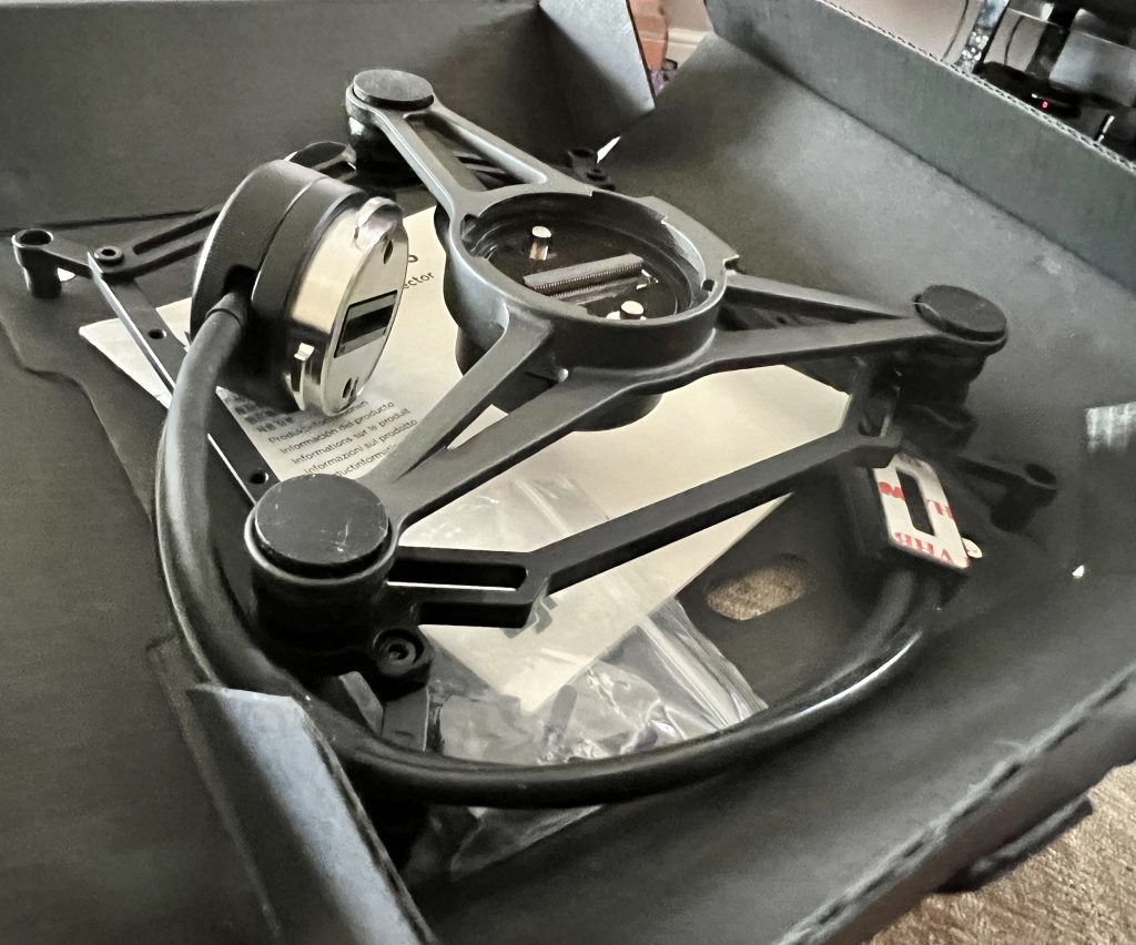
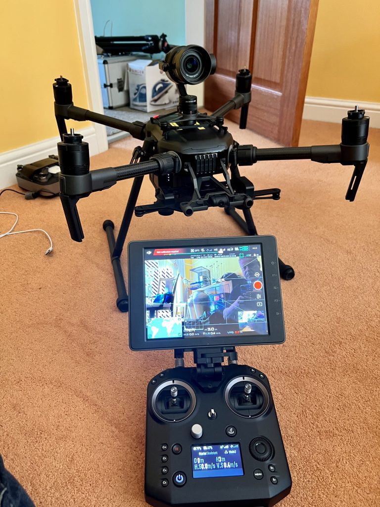
Specifically Norelo had a good used DJI Matrice M200 Drone for sale, the same drone that we use here at Impact Aerial.

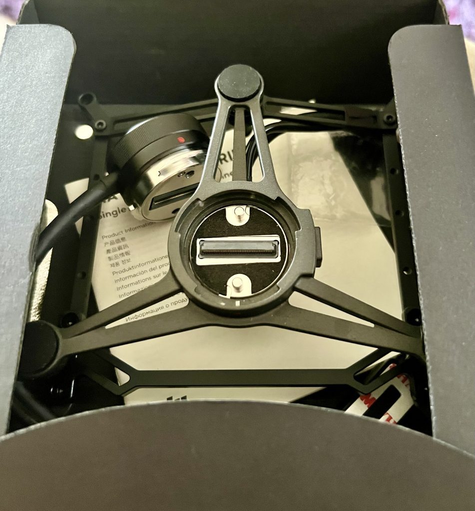
Now we didn’t need to buy another DJI Matrice M200 drone, but we were very interested in the upward gimbal for that drone, which helps us offer Bridge, Viaduct and Aquaduct inspections for our commercial clients.

We did initially ask Norelo if they would like to sell us just the M200 upward gimbal on its own, but understandably they wanted to sell the drone as a complete unit.

So it was a very pleasant surprise when the M200 Upward Gimbal was delivered by Royal Mail parcels here at our door, with just a thanks from Magnus via messenger, and to say it was a gift for help we had given in the past.

So thanks once again to Magnus and the team at Norelo for their kindness and generosity!

Cheers Guys, here’s a virtual beer to say thanks, 🍻🍻

New DJI Drones – Like Buses!

Yep it now seems that not a single month can go by without DJI launching yet another new Drone.

Lat month DJI announced the new Mini 3 drone.

https://www.dji.com/uk/mini-3

This came after just a short while earlier when they announced the Mavic 3 Classic.

https://www.dji.com/uk/mavic-3-classic

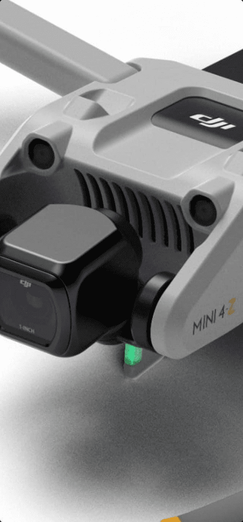
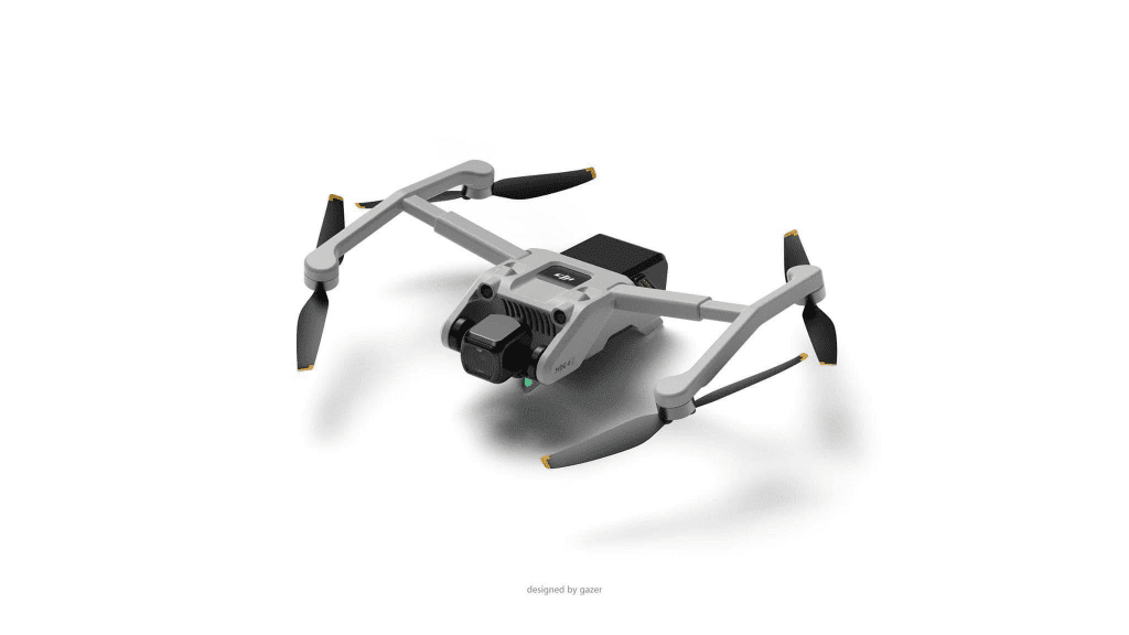
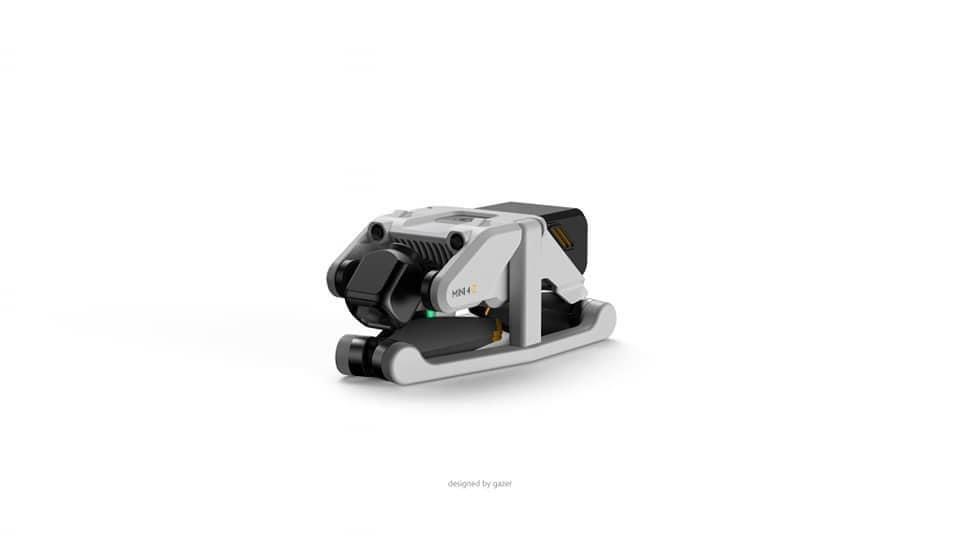
And now hot on the heels of those new actual announcements we have a rumour of yet another new DJI Drone, which looks like it might just be the Mini 4 Zoom.

Hers some of the images leaked so far.

We also have lots of people in the Youtube drone community talking about it too, the usual stuff, when is it coming out, how much will it cost etc etc.

RobHK talks about the DJI Mini 4

Tom Cruise – Mission Impossible 7 – Drone Stunt Filming

So Tom cruise and his amazing stunt team have been out filming for Mission Impossible 7 again.

And once again a huge drone filming crew were there to film it from a range of drones to capture every angle of the crazy stunt.

Tom Cruise – Mission Impossible 7
https://youtu.be/-lsFs2615gw

See how many different drones you can spot that are being used on this shoot!! It’s quite a lot more than you think.

New C1 Classification for our Mavic 3 Drone

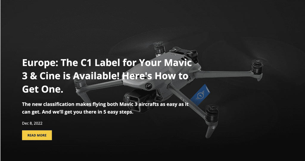
So the following new post has been issued from the official DJI Blog

This topic regarding C1 classification n has been a hot discussion point over the last few months.

We will follow the instructions when they are released here tomorrow, come back to see how we get on with the updates for our Mavic 3 Drone.

The link to the news on the blog is here:

https://viewpoints.dji.com/blog/c1-label

Another great new project with the BBC

Last year we were once again approached by the BBC to help produce a film.

This time the project was something different and exciting.

This was a film to be produced by BBC Countryfile.

BBC Countryfile is a great series of programmes produced by the BBC to cover a wide a range of topics relating to the great outdoors in the UK.

The topics covered by BBC Countyfile range from Farming to Fishing and beyond.

https://www.bbc.co.uk/programmes/b006t0bv

This Countryfile programme was all about a project on UK Canals.

It was a project for ground source heat being conducted by the Canals and Rivers Trust.

https://canalrivertrust.org.uk/

We were commissioned by the BBC to fly our Thermal Imaging Drone to capture heat sources.

Some projects from last year.

We are very lucky to work on some great projects in some amazing locations.

It’s one of the reasons we love our work so much.

It’s also what inspires us to make more and more fantastic content.

Last year we were asked to help produce content for a BBC 4 Production.

This was planned to chart the history of Coventry Cathedral.

Here is the finished video on Youtube.

BBC TV – Coventry Cathedral

We were also very pleased to be given credits at the end of the film too.

BBC TV – End Credits

We would also really like to extend our thanks to John Wyver as the director for Illuminations Media who directed and created the film for the BBC.

https://www.illuminationsmedia.co.uk/

New DJI Announcement today 21st March

So today DJI are due to release 3 new products.

Lots of rumours flying around ( Pun Intended!! ), could it be the DJI Inspire 3, could it be a new Mavic 3 Enterprise?

We will have to wait and see later today, but it’s going to be very interesting indeed.

Personally we are hoping its going to be this!

We have tried to get the drop on the news from Mark Boyt at Drone Safe Register, but he wont tell us yet!

http://www.dronesaferegister.org.uk

Brand New Logo Refresh

So our logo is over 5 years old now and we felt it was time for a refresh.

We have always been happy with the text and the colours of the words, but no so much the Logo of the drone.

So now we have a new version, the Logo of the drone was actually created using an image of one of our DJI M300RTK Drones.

Our New 2022 Logo

Let us know what you think!!

New Construction Promotion Partner

So we do a lot of work with a wide range of construction companies all over the UK.

In order to promote our wide range of services to the construction industry, we have partnered with this company.

https://www.construction.co.uk/

And here’s the link to our specific advert on the https://www.construction.co.uk/ Website.

Impact Aerial Ltd advert – https://www.construction.co.uk/c/694509/impact-aerial-ltd

Totally Shocking News! – DSR £100K Drones Theft

We have some devastating news to share here that makes us very angry and sad at the same time.

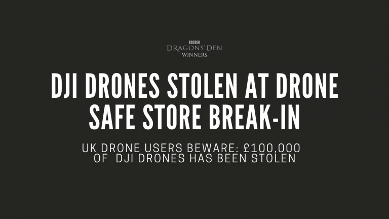
On Tuesday this week, our long term partner, supplier and good friends at DSR – Drone Safe Register had their store in Chichester broken into, and over £100K of DJI Products stolen.

This is always sickening to hear, but even more so when it is friends of ours, and a business that literally can and regularly do, go above and beyond to support us and all of the commercial drone service providers like us and the many others in the UK.

We are doing what we can to help the Mark, Tom and the rest of the team at DSR to try and locate the stolen goods, but also locate the low life scum who committed this dreadful crime.

Heres the link to the list of kit stolen, keep a sharp eye out everyone, and if you are offered any brand new DJI kit, such as a new Mavic 3 Cine kit, for what seems like a very low price, let Mark or any of the Impact Aerial team know and we will pass it over to the CID Team at the police who are investigating.

Heres the link.

https://dronesaferegister.org.uk/blog/dji-drones-stolen-at-drone-safe-store-break-in

Link to List of Stolen DJI Goods

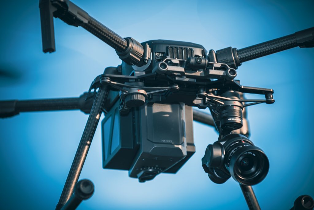
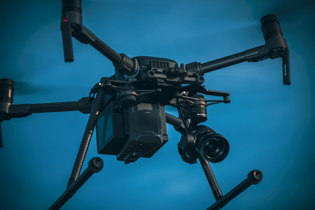
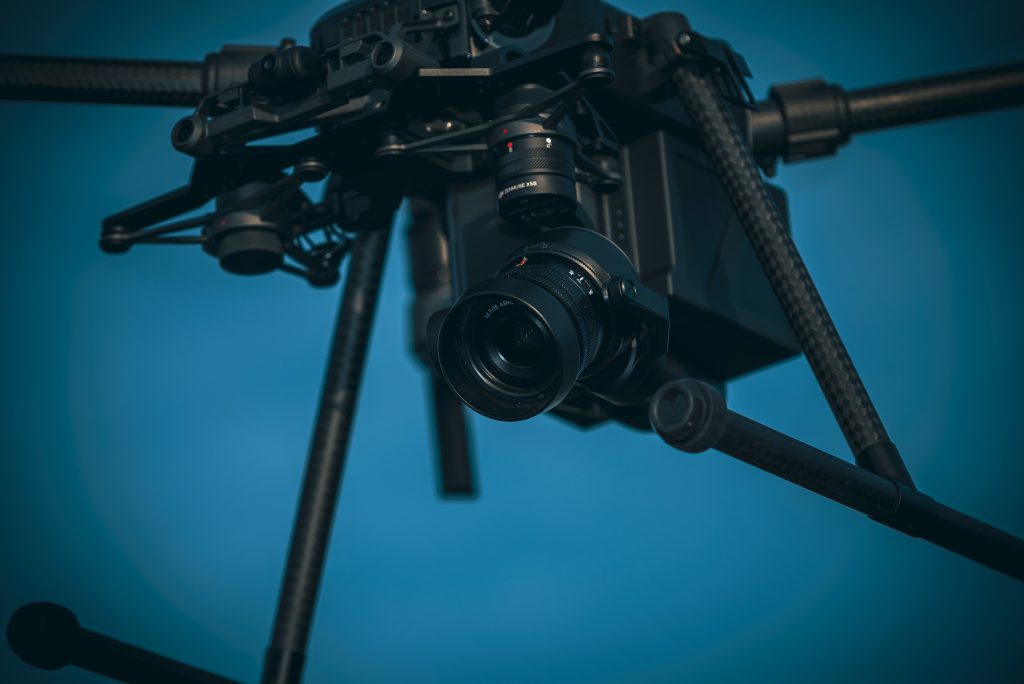
Showing some love for our Matrice M210 Drone

Sometimes when you have a drone that works so well and tirelessly for your business earning its keep, you simply take it for granted.

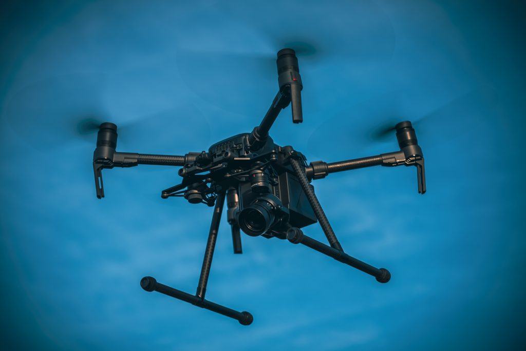
So someone else commented that we dont post enough photos here, so whilst we were preparing today for a survey job tomorrow, we took some high resolution shots of our DJI Matrice M210 in flight and at work today.

Brand New DJI Inspire 3 Drone Launched

So as we have said before DJI Drones seem to come along like buses, IE lots come all at the same time.

As usual there have been lots of leaks in the months and weeks coming up to the official announcement, and most of them seem to be pretty close to the real specs.

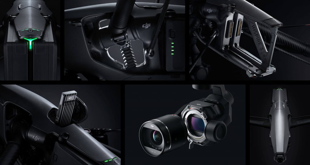
Having said that their were a couple of surprise’s, firstly the price, and its a big issue because its a big number, we added the standard DL lens price to the DJI Inspire 3 Combo and the Raw Licence and the total came to £16,186.00, thats in GB Pounds of course, and thats a huge number!

The second is the battery life which in turn gives the Max Flight Time of just 26 Minutes, which is less than the original DJI Inspire 2, a drone we have on our own fleet and still use widely for high end work.

DJI Inspire 3

Another Great New Drone News Story – BBV

HS2 and BBV released this video last week.

We agree that the use of drones on the HS2 Project is a fantastic story relating to the cost savings of using drones for survey projects on large constructions sites.

However this story was even closer and more relevant to us and the team here at Impact Aerial ltd.

A lot of people, including our customers and new prospects alike probably dont realise that as a professional drone services company, prior to engaging on any new drone project we have to do a lot of pre planning to engage with the client on all projects.

One of the tools we use on every project as part of our planning phase is the airspace planning tool from Altitude Angel.

https://www.altitudeangel.com/drone-pilots

In particular we use the drone safety map from Altitude Angel to plan and notify other people of our intended flights.

https://dronesafetymap.com/?hsCtaTracking=b6fcfc7d-7407-4dc1-a704-87336e60a656%7C553a0e6e-33e7-4a4b-9c3f-7949e384667d#loc=52.5017898,-1.7755890,12.0857748997633

Drone Safety Map – Birmingham Area

Above is a screen shot from today – Wednesday 22nd March, which as you can see by the blue circles which highlight drone operations happening today in our local area of Birmingham.

HS2 BBV Survey

Great New Drone News Story – IKEA

Well if you like us just love IKEA, mostly for their fantastic Swedish Meatballs if we are being honest, but of course for their great value modern stylish furniture too.

https://www.ikea.com/gb/en/p/huvudroll-meatballs-frozen-40487787/

Well it seems that they are also at the cutting edge of using drone technology in a large number of their warehouses too.

IKEA has shared a great news story on how they use drones in their warehouses to manage stock inventory.

https://www.theverge.com/2023/3/20/23648156/ikea-verity-drones-stock-counting-stores

Here is the image of one of the IKEA Drones in Use.

IKEA Stock Drone
https://player.vimeo.com/video/808213607?h=4ced63027d

Another Drone Company News Story

We are always pleased to see great news stories relating to drone companies in the technical press, here is a new story we noticed today regarding a company that has recently raised funding in the drone services sector.

Dronebase Gets $55M Funding
Dronebase Website Image

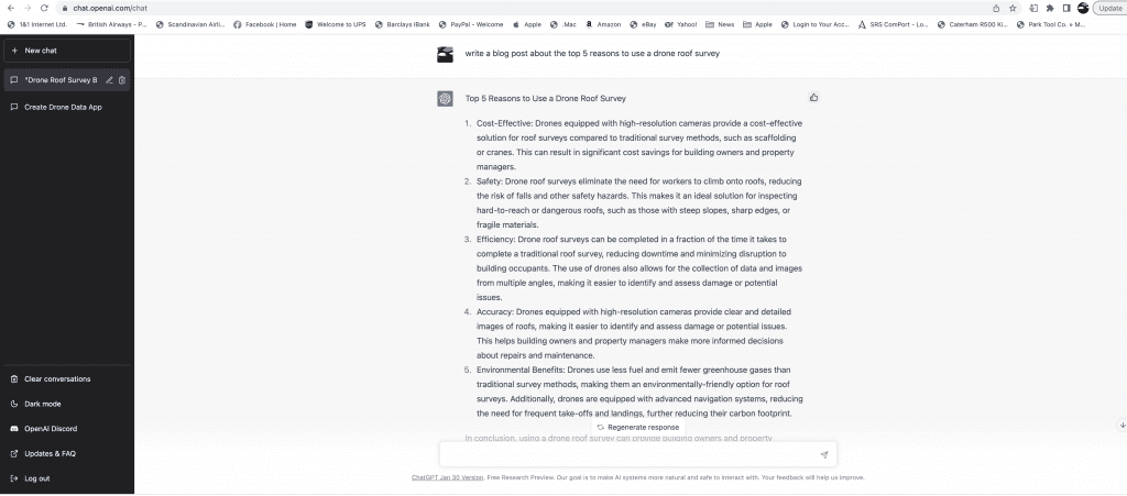
Using Chat GPT for Content


Lots of people are talking about using chat GPT to create content for them automatically.

So we thought we would have a go at creating some content relating to our drone services work that we provide to see what chat GPT would create automatically.

So what we decided was to ask chat GPT to create the top five reasons to use a drone for roof inspections and this is what I came up with tell us what you think.

Top 5 Reasons to Use a Drone Roof Survey

  1. Cost-Effective: Drones equipped with high-resolution cameras provide a cost-effective solution for roof surveys compared to traditional survey methods, such as scaffolding or cranes. This can result in significant cost savings for building owners and property managers.
  2. Safety: Drone roof surveys eliminate the need for workers to climb onto roofs, reducing the risk of falls and other safety hazards. This makes it an ideal solution for inspecting hard-to-reach or dangerous roofs, such as those with steep slopes, sharp edges, or fragile materials.
  3. Efficiency: Drone roof surveys can be completed in a fraction of the time it takes to complete a traditional roof survey, reducing downtime and minimizing disruption to building occupants. The use of drones also allows for the collection of data and images from multiple angles, making it easier to identify and assess damage or potential issues.
  4. Accuracy: Drones equipped with high-resolution cameras provide clear and detailed images of roofs, making it easier to identify and assess damage or potential issues. This helps building owners and property managers make more informed decisions about repairs and maintenance.
  5. Environmental Benefits: Drones use less fuel and emit fewer greenhouse gases than traditional survey methods, making them an environmentally-friendly option for roof surveys. Additionally, drones are equipped with advanced navigation systems, reducing the need for frequent take-offs and landings, further reducing their carbon footprint.

In conclusion, using a drone roof survey can provide building owners and property managers with a cost-effective, safe, efficient, accurate, and environmentally-friendly solution for roof inspections and assessments.

A great Drone News Story

https://www.theguardian.com/business/2023/jan/04/bt-invests-5m-in-plan-for-drone-superhighway-across-southern-england


This is a great news story regarding British Telecom’s drone testing programme to create a corridor for commercial drone deliveries.

It’s great to see you stories like this about large scale projects being delivered utilising commercial drones.

The only thing we are slightly surprised about is it seems that the Guardian reporter has used a stock image of a Small Consumer DJI drone which is clearly not a large scale commercial drone that will be used for a project like this.

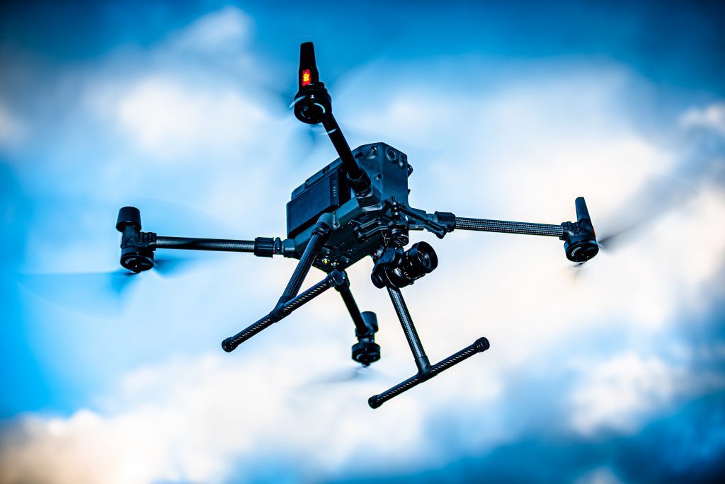
We suspect the Drones to be used are more like the ones we use for commercial inspections like our own DJI Matrice M300 RTK here.

A DJI Matrice 300 RTK Drone

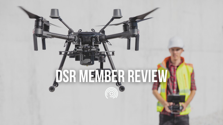
A Blog from our Partner Drone Safe Register


We wanted to share this great blog from our business partner friends at Drone Safe Register as a business Impact Aerial have worked with Drone Safe Register for over 5 years and we have always enjoyed fabulous support from Mark and the rest of his team at DSR .

This blog post is a review of our business and leads generated as a result of a relationship with Drone Safe Register which have resulted in major business wins for our own business.

https://dronesaferegister.org.uk/blog/drone-safe-register-member-review

https://dronesaferegister.org.uk/blog/drone-safe-register-member-review

Amazon Delivery Drones

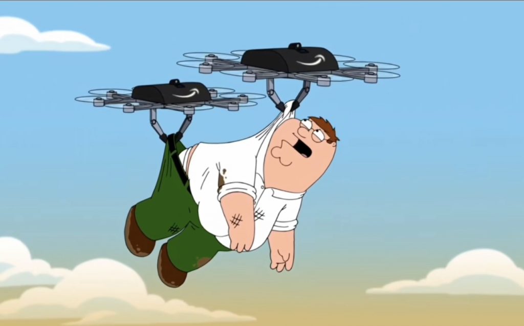
So we all know the Amazon have been experimenting with using drones for deliveries. However, as a business we still feel this is a failed business model as the last mile deliveries that are currently use my Amazon using white van man delivery systems are very competitive and reliable.

however, this did make a smile when we noticed that even Family Guy are trying Amazon drones as evil robots, trying to take other peoples lives.

https://www.instagram.com/reel/Cm3u7clITSs/?igshid=YmMyMTA2M2Y=

Peter Griffin – Family Guy

So a New DJI Drone – The Mavic 3 will be released this Friday.

A lot of people ask us for advice on what drone to buy, and how to use it to deliver the best results.

On Friday the 5th of November, which funnily is Bonfire Night, I am sure thats not a coincidence by the way, DJI will announce the new Mavic 3 Drone to the World.

You can see the teaser from here on the DJI Website.

https://www.dji.com/uk/trailer?site=brandsite&from=homepage

DJi Mavic 3

2021 – A brand new year – A brand new start

So I am sure we will all agree that 2020 has been a very very tough year for everyone.

The Coronavirus Global Pandemic has had a devastating effect on peoples lives, both from a professional and personal aspect.

We are devastated to see so many people in business, colleagues and friends strugling to make their businesses work in these difficult times.

However, we all must strive to survive the best we can and adapt our businesses to offer new services that will help people in the new normal under COVID 19 Pandemic.

Here at Impact Aerial we have been very lucky to weather the storm that started back in Febuary 2020, and we like to think we have managed to adapt our services and offerings, and become more successful as a result, despite the Global Economic devastation.

To that end we are quite proud of the fact, that during 2020, we have had the most successful year since our business started.

We have worked for over 30 companies on new projects in 2020, and we wanted to take the time to thank them all for choosing to use us to supply our products and services.

Many of our new customers have found Impact Aerial, by using the service from our partners at Drone Safe Register.

We are also proud that as long standing members of Drone Safe Register, we have also been recognised for our achievements and been awarded Gold Partner Certification for Drone Safe Register.

Live Video of our New Web chat

So we have been testing our new website feature – live chat.

We are blown away with this feature, here is a quick screen recording of one of our test live chats.

For some reason the actual video got lost, or at least the link to it did, we are sorry for that.

Its been added again now for 2022.

New Customer Reviews

We have recently received some great reviews from Clients we have worked with, where they have kindly left reviews on Trustpilot.

We are always very grateful to receive five star reviews, and feel that we should also provide links to their websites as a way of thanking them for their great reviews.

The first one is Mark Boyt from Drone Safe Register. Impact Aerial have been a member of Drone Safe Register for over three years, and have worked with some fantastic clients introduced to us by Drone Safe Register.

Heres the link to Drone Safe Register Website. http://www.dronesaferegister.org

Betaden Tech Tuesday Event

So a quick background to Betaden.

BetaDen is a Tech Accelerator based at the Malvern Hills Science Park in Malvern Worcestershire.

Impact Aerial were proud to be chosen to be one of just eight new startup businesses to be members of BetaDens Cohort 2.0

Each Betaden Cohort is a 9 Month Accelerator, where businesses with an innovative tech startup idea, are helped to bring that Idea to a commercially ready product offering.

Unfortunately due to the impact of the COVID 19 Pandemic the program was delayed, meaning the big showcase event that ws scheduled for June had to be re thought.

In fact each of the Cohort 2.0 companies, with the expert guidance from the Betaden team still managed to deliver our end of program Showcase, it was actually just a Virtual Showcase.

However in addition to the Virtual Showcase, BetaDen also run regular monthly update session, such as the Tech Tuesday regular event.

For the July 2020 Tech Tuesday event, Impact Aerial were invited to join Drone Prep to deliver a presentation on ” Drones – the art of the possible “

You can find a link to the recorded session here.

https://us02web.zoom.us/webinar/register/2215941154766/WN_RjbFhbohQ_awPZ4lP4PYSQ

Impact Aerial are part of BetaDen Cohort 2.0

New Story

So you might have seen we have decided to make some changes to our website.

We have changed our menu and added some items.

You might notice that we now have the following items added to our menu, Twitter and Blog

We wanted to add the Twitter feed, because we have a lot of followers on Twitter, and many people comment, like and retweet our tweets over on Twitter.

And by the same token we also wanted to make a proper section for Blog posts.

The advantage of a blog post is that they appear on our we page as post, which have a history and chronology, which allows then to be easily found and read by other people.

Finally people can add their own comments to blog posts too. So we welcome comments ( constrictive ones please!!) on our blog posts.

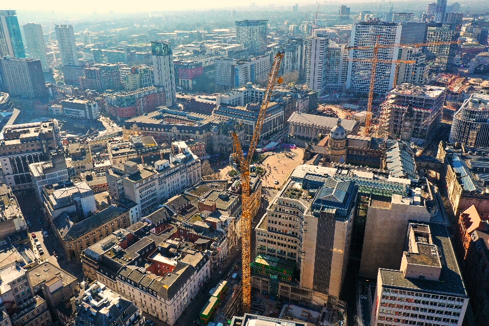
102 Colmore Row Birmingham
The huge crane building the amazing new building at 102 Colmore Row