
Table of Contents
- Why Drone Site Mapping Is Reshaping Construction Workflows
- The Measurable Benefits of Drone Site Mapping for Construction Projects
- How Drone Site Mapping Works: From Flight Plan to Deliverable
- CAA Drone Regulations for Commercial Construction
- Drone Mapping vs Traditional Surveying Costs
- How to Integrate Drone Data into BIM
- Common Challenges and How to Solve Them
- Frequently Asked Questions
Last Updated: 11 September 2026
Why Drone Site Mapping Is Reshaping Construction Workflows
Drone site mapping for construction projects is the practice of using unmanned aerial vehicles to capture aerial imagery and sensor data, then processing that data into survey-grade maps, 3D models and progress records. It has moved from novelty to standard practice because the numbers are hard to argue with: the global construction drone market is projected to reach $11.96 billion by 2027, according to UAV Coach’s 2026 construction drone guide, with further growth to $19 billion by 2032.
The reason isn’t the hardware. It’s that a single drone can scan a 100-acre site in less than an hour, per DroneDeploy’s 2026 mapping research, which turns progress reporting from a monthly event into a weekly one.
Below, we break down what drone site mapping actually delivers, how the workflow runs from flight plan to deliverable, and where teams get it wrong.
The Measurable Benefits of Drone Site Mapping for Construction Projects
The case for drone site mapping rests on two things: covering ground fast, and producing data accurate enough to act on. Site surveying and mapping applications are estimated to hold a 34.0% share of the drone construction monitoring market in 2026, according to Fact.MR’s drone construction monitoring analysis. That share reflects genuine operational value, not hype.
Speed and coverage on large sites
A traditional two-person ground survey of a large earthworks site can take days. A drone flight covering the same area takes under an hour, with processing handled overnight. Drone-based surveys were found to have reduced highway project delays by 18% in 2026, according to Future Market Insights’ construction drone market report. For project managers, that translates into faster earthwork sign-off and fewer disputes about what was where, when.
Accuracy for earthworks and progress tracking
Modern photogrammetry and LiDAR payloads produce point clouds accurate to a few centimetres, which is sufficient for volumetric measurement, cut-and-fill calculations and progress verification. Overlaying drone imagery with digital site plans allows real-time comparison of actual progress against original designs, a technique documented by The Drone Brothers’ 2026 site overlay guide. The practical result: you spot a programme slip in week three, not at handover.
How Drone Site Mapping Works: From Flight Plan to Deliverable
The workflow has four stages: plan the flight, capture the data, process it, and distribute the outputs. Each stage has a failure mode that undermines the next, which is why consistent flight planning matters more than raw drone specification.
Choosing the right drone and sensor
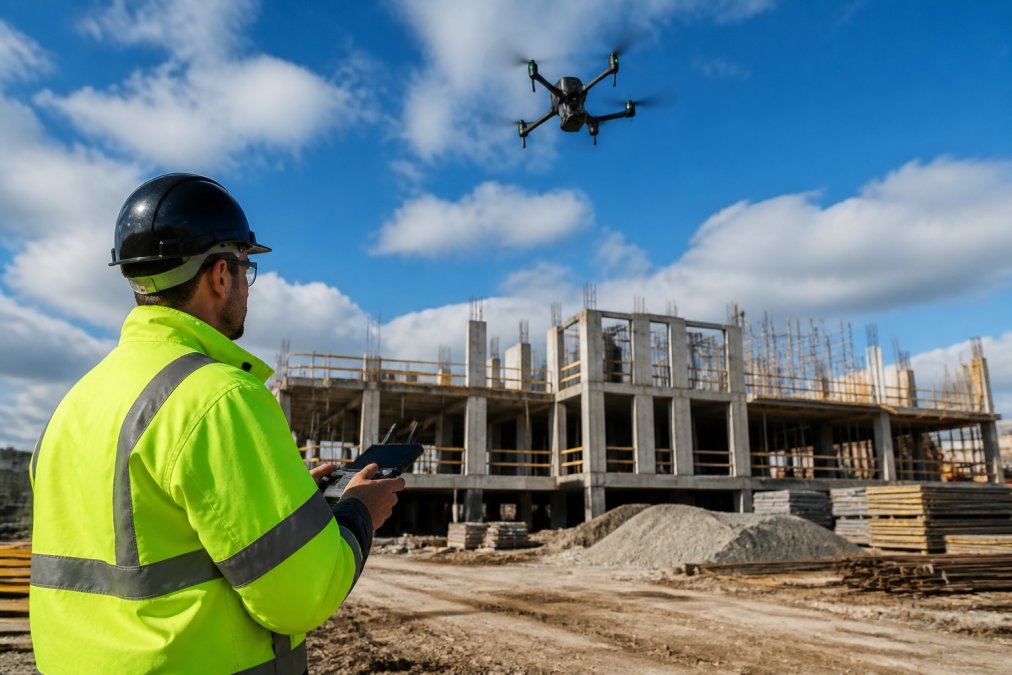
For most construction work, a quadcopter with a high-resolution RGB camera handles mapping and progress capture. LiDAR payloads add value on heavily vegetated or low-light sites where photogrammetry struggles. Thermal sensors serve a different purpose: defect detection and solar array inspection rather than topographic mapping.
Processing software and outputs
Raw aerial data is not a deliverable. It becomes one after processing into orthomosaics, point clouds, digital elevation models and 3D meshes. Automated flight planning software has become standard for generating consistent point clouds and meshes across repeat flights, according to Track3D’s 2026 construction reality capture overview. Consistent flight paths are what make week-on-week comparison possible.
Book repeat flights at the same time of day and the same altitude. Shadow direction and sun angle change dramatically across a season, and mismatched lighting makes visual progress comparison far harder than it needs to be.
CAA Drone Regulations for Commercial Construction
Commercial drone site mapping in the UK operates under Civil Aviation Authority rules, and this is where inexperienced operators come unstuck. A commercial operator needs a valid Operational Authorisation, and the remote pilot flying the mission must hold a General VLOS Certificate (GVC). Flights in congested areas, near airports or beyond visual line of sight require specific approval.
The CAA publishes current requirements and airspace restrictions directly, and these change periodically, so always verify against the CAA’s official drone and model aircraft guidance rather than relying on a course manual from three years ago.
Insurance is the other half of the equation. Commercial operations typically carry specific public liability cover, and a contractor hiring an operator should confirm the policy actually covers aerial work rather than assuming it does.
Using an operator without valid CAA authorisation or adequate liability cover can void your site insurance and expose you to enforcement action. Ask for the Operational Authorisation and insurance certificate before the first flight, not after.
::: managing construction budgets.
Drone Mapping vs Traditional Surveying Costs
Drone mapping usually costs less than traditional surveying on large or repeat-visit sites, but the comparison is not as simple as a day rate. Traditional topographic surveying charges for skilled personnel time on site, which scales linearly with area. Drone mapping has a fixed mobilisation cost and a much flatter cost curve across larger areas, so the economics favour it heavily above a certain site size.
| Factor | Drone Mapping | Traditional Surveying |
|---|---|---|
| Mobilisation | Fixed, per visit | Per crew, per day |
| Cost at scale | Falls per hectare | Stays roughly linear |
| Repeat visits | Low marginal cost | Full crew cost each time |
| Best for | Large, changing sites | Small, legally defined boundaries |
| Deliverable speed | 24-72 hours typical | Days to weeks |
Pricing for any specific project depends on site size, flight complexity, sensor requirements and deliverable format. The honest answer is that a quote is the only accurate figure, and any operator offering a flat per-acre rate before seeing the site is guessing.
How to Integrate Drone Data into BIM
Integrating drone data into BIM means converting aerial capture into formats your modelling environment accepts, then aligning it to the project coordinate system. The outputs that matter most are georeferenced point clouds (typically LAS or E57) and orthomosaics (GeoTIFF), both of which can be imported and overlaid against the federated model.
The workflow that works reliably:
- Confirm the site coordinate system and projection before the first flight
- Set ground control points or use RTK-enabled drones for georeferencing accuracy
- Process into a georeferenced point cloud, not a screen-space mesh
- Import into your BIM platform and align to the project origin
- Schedule repeat flights at consistent intervals for deviation tracking
The payoff is comparison in four dimensions: design against as-built, week against week. A hospital project by Brasfield & Gorrie used drone-generated 3D models to build elevation maps, improving earthwork monitoring accuracy and site planning, as documented in DroneDeploy’s construction case studies. The same principle applies to any site where earthworks drive the programme.
Common Challenges and How to Solve Them
The operational limits of drone site mapping are real, and pretending otherwise sets teams up to fail. Practitioners on mapping forums consistently flag two issues: navigating complex regulatory requirements, and the technical work of turning raw aerial data into survey-grade maps, as discussed in the UAVmapping community discussions. Neither is insurmountable, but both require either in-house expertise or a competent operator.
The other common failure is data volume without a plan. Teams capture weekly flights, accumulate terabytes of imagery, and never build the comparison workflow that makes the data useful. Fix the process before scaling the flights.
SME adoption tells its own story: leasing of unmanned aerial vehicles by small and medium-sized enterprises saw a 3.1x surge between 2026 and 2029, according to Future Market Insights’ market analysis. Smaller firms are not priced out of this. They are the ones driving growth.
The technology is rarely the bottleneck. The bottleneck is a repeatable process: consistent flight planning, consistent processing, consistent delivery into the tools your team already uses.
Drone site mapping only pays off when the data is captured consistently, processed properly and delivered in a format your team can actually use. That is the gap between a drone flight and a survey deliverable, and it is where most projects lose value.
Impact Aerial provides fully trained and licensed CAA GVC pilots, a fleet of 4K HDR DJI Enterprise drones, professional post-production, and £5m commercial liability insurance for peace of mind. Whether you need progress monitoring on a live site, volumetric earthworks data, or aerial imagery for property marketing, our team delivers outputs built for use, not just for show.
Get started with Impact Aerial and turn your site into data your project team can act on.
Frequently Asked Questions
How does drone site mapping improve construction project efficiency?
Drone site mapping speeds up data collection dramatically. One drone can scan a 100-acre site in under an hour, compared with days for a manual survey. That means faster earthwork calculations, quicker progress reports, and fewer site visits. Research from 2026 shows drone-based surveys cut highway project delays by 18%. For project managers, this translates to earlier identification of deviations and better-informed decisions, which keeps programmes on track and reduces costly rework.
What are the benefits of using drones for site surveying?
Drones capture high-resolution imagery and generate 3D models, point clouds and elevation maps. They access unsafe or hard-to-reach areas without putting people at risk. Compared with traditional methods, drone surveys are faster, produce richer data, and can be repeated frequently to track progress. They also integrate with digital site plans, allowing real-time comparison of actual work against designs. For construction projects, this means better accuracy, improved safety and stronger visual records for stakeholders.
Do I need a CAA licence for construction drone mapping?
Yes. Commercial drone operations in the UK require a CAA Operational Authorisation and a remote pilot competency certificate, such as the GVC. You must also register the drone and hold appropriate insurance. Flying over construction sites often involves specific risks, so operators need to demonstrate safe procedures, including site surveys and emergency plans. Always check that your drone service provider holds the correct CAA permissions and insurance before they fly on your project.
How accurate is drone mapping compared to traditional land surveying?
Drone mapping can achieve survey-grade accuracy when using ground control points or RTK positioning. In practice, accuracy of 2-5 cm is achievable for many construction applications. Traditional total station surveys can reach similar precision but take much longer and cost more for large areas. For earthwork volume calculations and progress monitoring, drone-derived data is often more than sufficient. However, for legal boundary determinations or high-precision setting out, a chartered surveyor should still verify results.
What software is used for construction site drone mapping?
Common software includes DroneDeploy, Pix4D, and Propeller Aero for photogrammetry and 3D modelling. These platforms process drone images into orthomosaics, digital surface models and point clouds. Many integrate with BIM and CAD tools. Some providers also offer automated flight planning to ensure consistent outputs. The choice depends on your workflow: if you need frequent progress tracking, cloud-based platforms with easy sharing are ideal; for detailed earthwork analysis, specialised volumetric tools may be better.
How often should construction sites be mapped by drone?
Frequency depends on project phase and complexity. During earthworks, weekly mapping is common to track cut and fill volumes. For general progress, monthly or fortnightly flights may suffice. Fast-moving projects might benefit from twice-weekly captures. The key is to align mapping with key milestones or payment cycles. Regular mapping creates a reliable as-built record and helps catch delays early. Your drone provider can help set a schedule that matches your programme.
 2 Norton Drive, Wythall, Birmingham, B47 6HH Company registration number: 11138586. VAT Number: 366 9068 55


